When you want to see the stars, find someplace dark

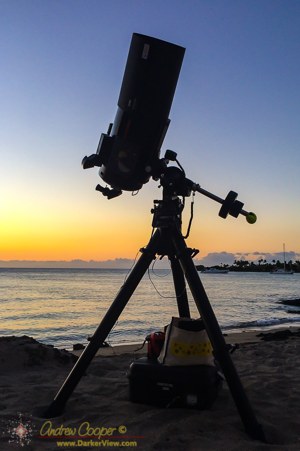
Yes, it is a telescope on a beach…
Picture postcard beaches of white sand with turquoise blue water are what so many tourists imagine when Hawaiʻi is mentioned. Add a few coconut palm trees and you have the ideal beach of song and legend.
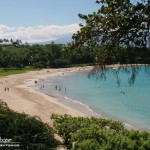
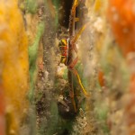
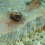
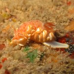
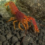
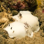
It is the coral that is the source of the white sand beaches here in Hawaiʻi, ground coral chewed and digested by the many coral eating fish. The pretty triggerfish and parrotfish chew the coral constantly, crushing the coral into a fine grained sand. Our pretty sandy beaches are literally fish shit.
This stands as a stark contrast to other tropical shorelines around the world, where miles upon miles of beach are not uncommon, sand as far as the eye can see. Here on the Big Island the few truly good beaches are treasured and well used parks.
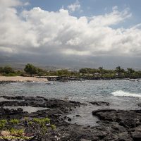
Coconuts are not the usual shoreline tree either, that role belongs to either the kiawe tree or what is locally called ironwood. Both names are not what you would find in the botanical texts. Kiawe is the island name for what the rest of the world calls mesquite or Prosopis pallida, a drought tolerant tree that covers much of the dry leeward shorelines. Likewise the local ironwood is actually the beach she-oak or Casuarina equisetifolia. The rather confusing name ‘ironwood’ is used for over thirty different species around the world.
Another surprise to many is that this island has black sand beaches. In place of ground coral these beaches are ground up lava, often created by the interaction of hot lava and cold water shattering the rock into a deep black sand. There is even a green sand beach, where the sand is in large part made up of the semi-precious gemstone olivine.
Hawaiʻi is the youngest island in the chain, the forces of erosion, coral growth, and hungry fish, have not had enough time to create the long sandy beaches. These beaches become more common as you jump northward from island to island. Oahu or Kauai have extensive beaches along a much large percentage of shoreline. The islands in the northwest Hawaiʻian islands, places like Kure and Midway are pretty much nothing but sandy beach.
We do have beaches, and they are pretty good.
When two bodies of fluid are moving in different directions interesting things happen at the boundary. The result is usually some sort of wave… Waves on the surface of the ocean or waves in the sky.
Waves on the sea surface are easy to see. Waves in the sky? Not so much. These waves are only betrayed if clouds form in the waves, revealing these structures.

In the Saddle region over Mauna Kea and Mauna Loa, there are usually two air masses moving in different directions. Below the inversion level the tradewinds push westward. While above the inversion level, usually about 6-7,000ft, the upper air moves to the east. Where these two meet there are often KH waves, and occasionally some clouds to outline these fascinating structures.