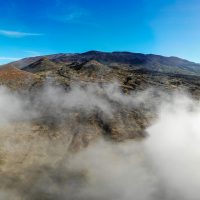
Mauna Kea Glow
When you want to see the stars, find someplace dark

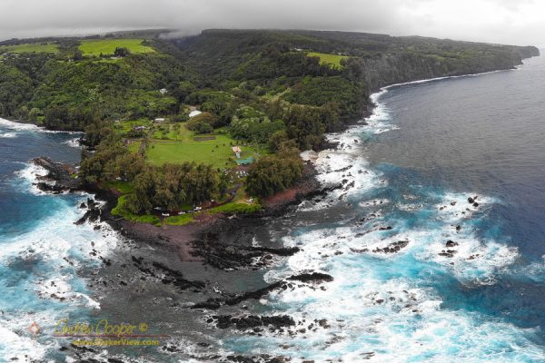
One of the fun things you can do with the panorama images created by the Mavic Air drone is to upload them to places these images can be seen a wide audience. Posting to Facebook is fun, but very few places will see more traffic than images posted to Google Maps.
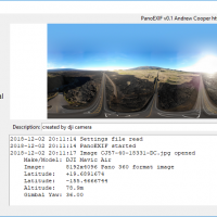
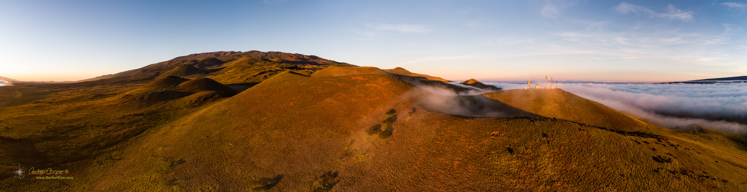
The newer DJI drones like the Mavic Air produce 360 panoramas automatically. Stitched on-the-fly onboard the drone the panoramas are saved to the memory card ready for use at the end of the flight. The images are not without issues, the onboard stitching is quick and small flaws are usually visible. Far better results can be achieved by other stitching software in post, but the drone produced panoramas are generally good enough for web posting.
I have run into a significant problem I did not expect.
Even better, I need only stop off on the way to or from work at the summit to find time to fly here. Leave for work early, discharge a few flight batteries, join the rest of the crew for breakfast at Hale Pōhaku.
Just after dawn or just before sunset the light accentuates this dramatic landscape, intensifying the colors, the low sunlight angle creating shadows that reveals the stark terrain.
The low sunlight angle causes some problems as well. One I expected… The drone camera does not deal well with glare. Take an image pointing near the Sun and the image is often ruined by the glare. This is discussed in some of the review videos I watched before I bought the drone. Easy to avoid, just point away from the Sun before you start that panorama sequence.
The second major issue I did not expect… Many of the images feature a very bright spot directly opposite the Sun in the sky. This spot is intense, creating a peculiar feature in the photograph that I find distracting.

OK, you can stop asking for the new Inside Passage video… It is done!
It has bears! Whales! Sea lions! Grizzly bears! Aurora! Lots of drone footage! More bears!
Actually the video came together pretty well. I already had a piece of music picked out, that saved a great deal of trouble. Nearly four weeks on the water meant a great deal of photographic material to work with. As usual the Inside Passage provided plenty of photographic opportunity, particularly the first week when is seemed like even the wildlife was performing on cue.
And there were lots of bears…
One of the compelling features of the DJI Mavic drones are the quick shot capabilities. These are programmed maneuvers that the drone performs while rolling video. Properly used these pre-programmed shots can be stunningly effective.
One of the most useful features of the Mavic Air are the built in panorama modes. These are pre-programmed maneuvers, like the quick-shots, that take a series of exposures to stitch into a single frame.
There are two panorama modes I find myself using regularly. The spherical and horizontal modes both offer a view from the drone that overcomes the limitations of the camera.
OK, I have the FAA rules for operating a drone figured out. What about Canada? As I will be voyaging along the Inside Passage this month I intend to fly in Canadian airspace. The scenery of the wild British Columbia coastline is just too fantastic to pass up, particularly from the air.
Rules for drones in Canada are the responsibility of Transport Canada, the equivalent of the US Federal Aviation Administration. TC maintains a very nice set of web pages covering drone rules and regulations. There is even a nice PDF page that summarizes the rules.
In general Canadian drone rules are much more restrictive than the FAA drone rules. For example the range limits are 90 meters above ground, notably lower than the US 400ft rule. Operation must be at a maximum range of 500m, where the US allows up to visual line-of-sight, potentially several miles.