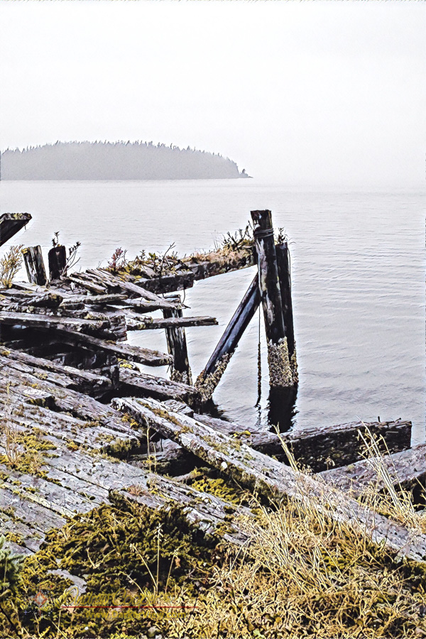
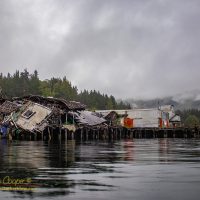
Abandoned Wharf
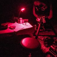
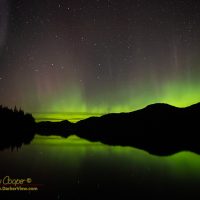
When you want to see the stars, find someplace dark

A drone does not bank into a turn like a traditional aircraft, it remains level as it spins in the air to change direction. Even if the drone banks slightly to counteract the wind the camera gimbal keeps the video level.
The resulting video from the drone seems flat to me, a sense of something wrong, I expect a little roll while turning. I find myself struggling with the resulting imagery, what do I do with this?
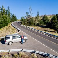
It is not only aircraft that bank into a hard turn, even an automobile does this on a properly designed roadway. If the car does not truly bank, we passengers naturally lean into the turn to counteract the centrifugal force. We expect to lean into a turn, while a drone does not.
How do I restore that roll in the drone video?



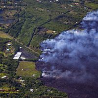
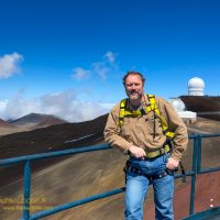
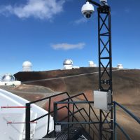
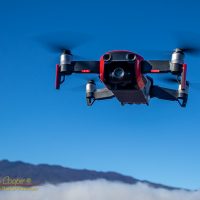
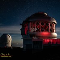
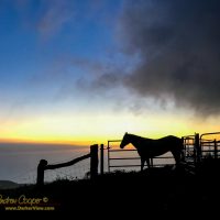
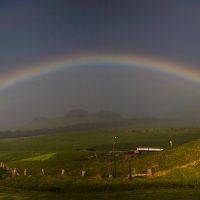
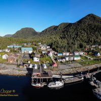


By now anyone reading the news will know that a drone sighting shut down a major metropolitan airport just days before Christmas. London’s Gatwick airport was intermittently closed to arrivals and departures during the busiest travel season of the year, leaving up to 140,000 travelers stranded and scrambling to make alternate travel arrangements.
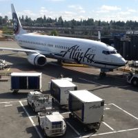
What you may not have heard is that there may never have been a drone involved. This may have stemmed from one bad sighting and a classic case of mass hysteria leading to further drone sightings.
Even worse, authorities looking for anyone to blame arrested and detained an innocent couple for 36 hours. They were eventually released after no evidence was found and an alibi verified. During that time the couple was vilified by name in some major media outlets. The only saving grace here is that the couple is now likely to receive a substantial sum from those newspapers under British libel laws.
Continue reading “Drone Hysteria”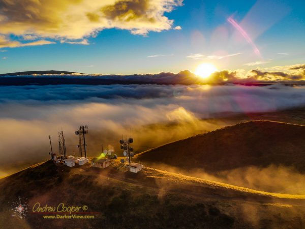
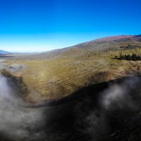
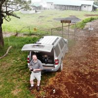
I have been flying a lot in the Saddle over the last few months. It helps that I can simply leave for work early, stop off and blow through some drone batteries, before heading on to Hale Pohaku where I meet the rest of the crew for a day on the summit. The process can be reversed on the way back down the mauna in the evening after work.
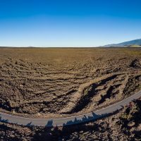
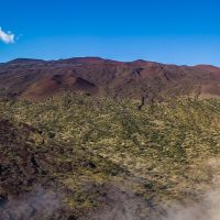
On these short days late in the year this means flying right at dawn and sunset, creating very dramatic light. The rich colors are simply great for photography of this beautiful area of lava flows and cinder cones.
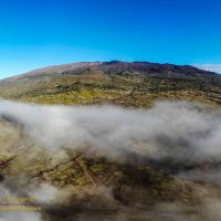
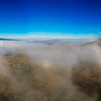
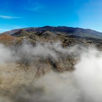
What makes the are even more spectacular is the cloud layer. As you drive up the mauna you pass through the clouds. I love to stop and fly right at the top of the cloud layer, where the fog lays in against the mountain. I am sorely disappointed on those mornings that the fog is not there!
The result of these flights is lot of great video, I just need to put something together to share it.
Of course a good video needs great music. I am indebted to Chris Stark, a local artist who graciously allowed me to use his track Dancing in the Rain as the backdrop for the video. I encourage you to head over to his website ChrisStark.com to check out his albums.
Chasing Fogbows from Andrew Cooper on Vimeo
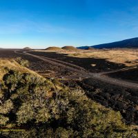
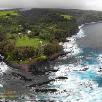

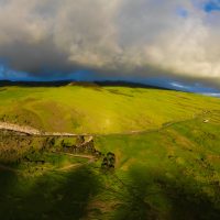
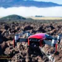
It always amazes me how much time it takes to edit video. Hours of fiddling little details, tweaking, or ripping it out when you decide you got it all wrong.
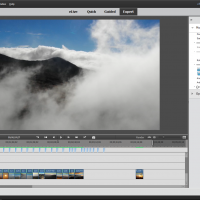
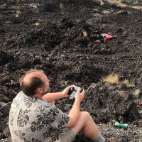
I am editing drone video, material from mornings and evenings flying in the saddle region of Mauna Kea. I did do a quick video from my first footage in the area, but that was really a learning experience, just seeing what worked and what did not.
This time I am striving for a polished product, not a quick experimental video. That means taking care in selecting each clip, and blending it in properly to the soundtrack and surrounding clips. I am also applying more post processing effects; panning, rolls, and color corrections.
Music is always an issue, the soundtrack makes everything work. In this case I already had a piece of music in mind, a track by a local artist who has graciously given permission to use his artwork.
In the process of editing I end up watching the video hundreds of times, often in little pieces. If I find myself enjoying the product, it might, just might be worth the effort. So far.. So good.
One of the fun things you can do with the panorama images created by the Mavic Air drone is to upload them to places these images can be seen a wide audience. Posting to Facebook is fun, but very few places will see more traffic than images posted to Google Maps.
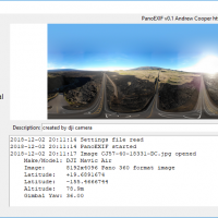
The newer DJI drones like the Mavic Air produce 360 panoramas automatically. Stitched on-the-fly onboard the drone the panoramas are saved to the memory card ready for use at the end of the flight. The images are not without issues, the onboard stitching is quick and small flaws are usually visible. Far better results can be achieved by other stitching software in post, but the drone produced panoramas are generally good enough for web posting.