
Marble Grotto
When you want to see the stars, find someplace dark




Seymour Narrows is a bit of water one approaches with caution. This narrow passage north of Campbell River provides the shortest route between Vancouver Island and the mainland for transiting vessels. This passage is also subject to dramatic tidal currents of up to fifteen knots.
The strong currents create large areas where the water seems to boil, dotted with whirlpools and debris swept along by the rushing water. The result is what explorer Captain George Vancouver described in his logs as “one of the vilest stretches of water in the world.”
The passage was once much worse, a large rock named Ripple Rock lurked just under the surface at low tide. This mid channel rock created huge standing waves and vicious eddies as the current ran over it.

We got lucky. When it happened we were well positioned to view, and photograph the show.

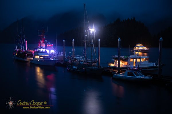
Even better, that night we were moored to a state float rather than simply sitting at anchor, or even worse, docked in a town or city. In Helm Bay, 22 miles north of Ketchikan, we had a beautiful dark sky and a perfect setting to watch the show.
With a float I had a stable platform from which to shoot time lapse video, no rocking or swinging at anchor. I could set up the camera and tripod and let the intervalometer click away for over an hour.
The video is made from 360 separate exposures compiled into a video about 30 seconds long. Each frame was 10 seconds at ISO6400 using a Canon 6D camera and a Rokinon 14mm f/2.8 lens set to f/3.2. The frames are projected at 12 frames per second in the version below.
The ten second frames are still too long, the glowing bands of light move quite quickly, at times rippling across the sky. The result is that the patterns and motion in the aurora is blurred.
The aurora was quite bright, my usual 15 second night sky shots actually overexposing. I dialed back the exposure a bit, and should probably have dialed it back a bit more.