
The tour guides give the basic story behind the creation of Mauna Kea. The story given is simple… A hot spot in the mantle is the source for a plume of magma that punches through the oceanic crust and forms the Hawaiian volcanoes. As the pacific plate moves the islands are formed one by one, the latest being the Big Island of Hawaiʻi.
Fortunately there is a good source for answers… The Geology and Petrology of Mauna Kea Volcano, Hawaii —A Study of Postsheild Volcanism, Edward Wolfe, William Wise, and G. Brent Dalrymple. This seems to be the definitive paper on the geology of Mauna Kea. Any time I see a list of references for the geology of the mountain, this paper appears. Published in 1997 it incorporates much of the earlier studies on Mauna Kea into one compendium.
This paper is not light reading. It is 130 pages of details, tables, minerological analysis, chemical abundances, radiometric dates, figures and complex geologic terminology. Reading this strains my understanding of the subject, even after some college geology course work and a lifetime of reading on the subject. Still, the exercise is worth it, there are many answers in this paper, so many interesting details about the mountain.
These last eruptions were part of the Laupahoehoe lavas that cover the eastern flank of the mountain. Apparently these eruptions were quite active, creating large amounts of volcanic ash that form substantial deposits on the flanks of the mountain (p.125).
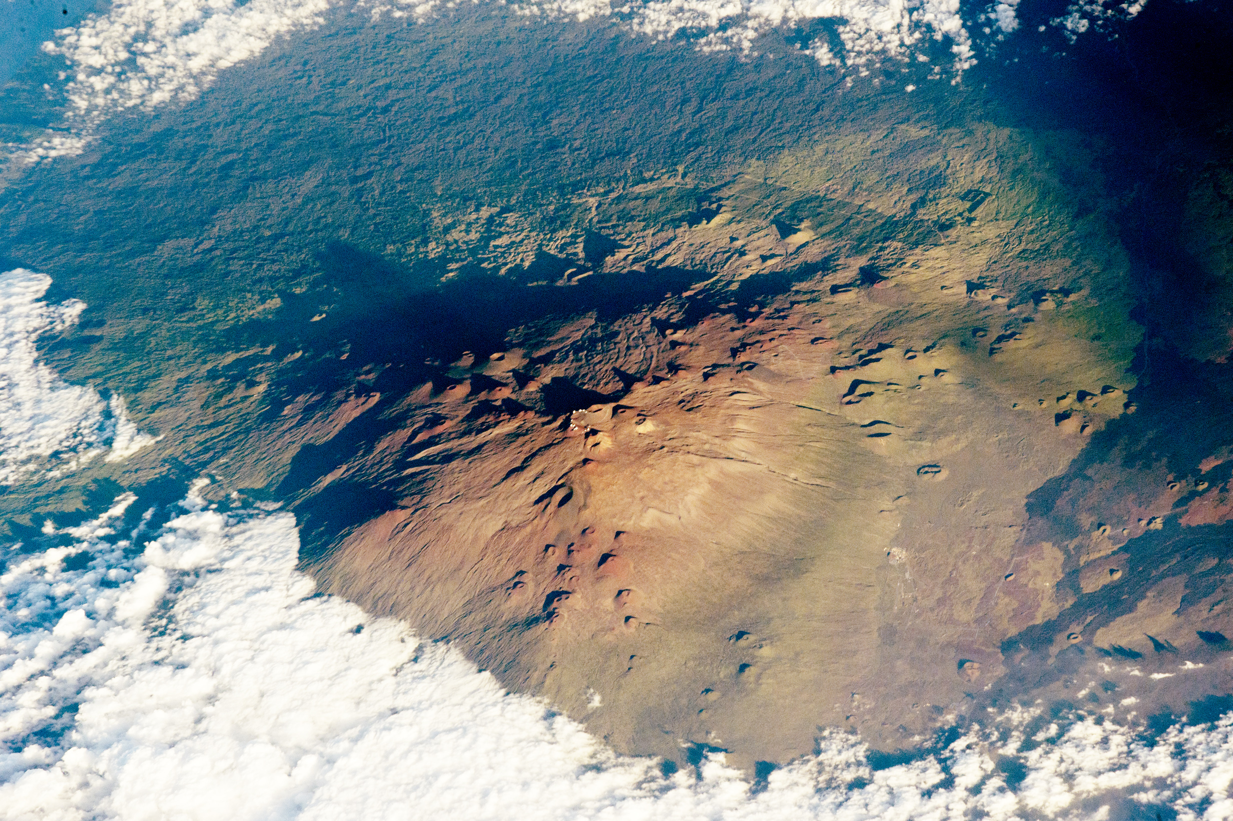
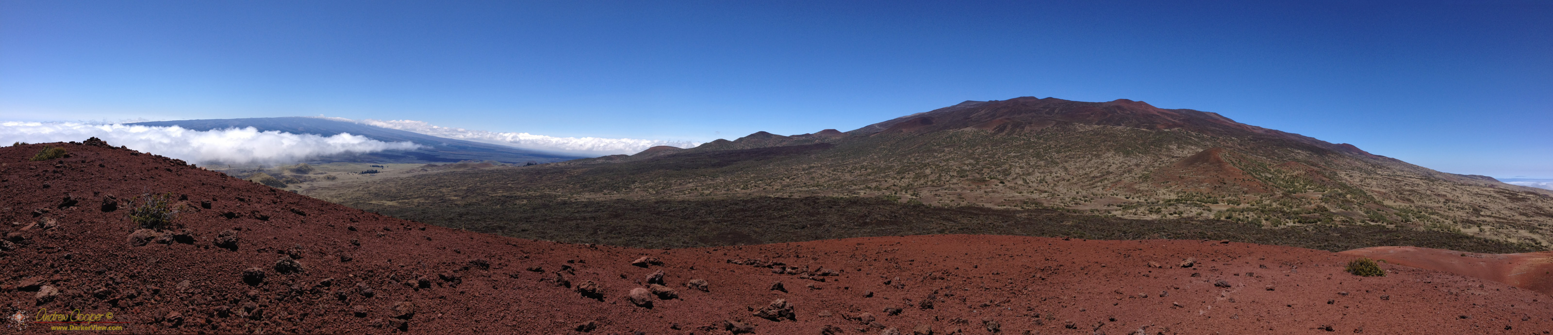
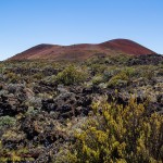
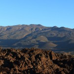
There is also a distinct series of phases in the formation of the volcano with differing magma production rates and different chemistry of the resulting lavas. the last and current phase is the post-shield phase, easily studied as these flows lie at the surface. Studying the older phases of Mauna Kea is more challenging as these lavas are often deeply buried and only exposed by erosion or by drilling.
There were more interesting stories here.. Magma production rates have much to do with the formation of the shorelines. The profile of the shore is a complex interaction between eruptions, erosion and sea level as the immense weight of the volcano presses down on the oceanic crust and the entire island subsides. As a diver I had noted the relic shorelines and sea cliffs that are now submerged all along Mauna Kea’s western side. These date from the last periods of the shield building phase of the mountain and the final large lava flows to pour down this slope to the sea.
Several distinct glacial deposits are mapped in the report, often separated by lava flows indicating alternating periods of glacial and volcanic activity. Again the story is complex as the eruptive activity and the ice alternately dominated the summit of Mauna Kea.
While the paper may require a little learning by a layman such as myself to fully understand, it is a wonderful resource in understanding Mauna Kea. I keep a copy of it on my iPad, it makes good reading for the long trips up and down our mountain.

Interesting! I had wondered about this. Thank you for the informative post.
Glaciers. Who da Thot ?