Skip to content
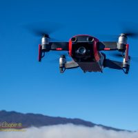
Flying the DJI Mavic Air in the saddle at the base of Mauna Kea
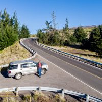
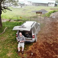
Pulled off along the road to work and discharging some drone batteries
created by dji camera
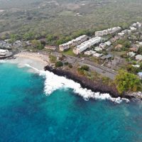
Looking towards Magic Sands Beach Park from 400ft up
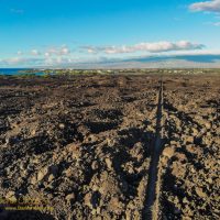
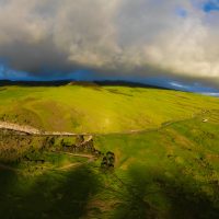
The ancient King’s Trail cuts across lava flows approaching Waikoloa
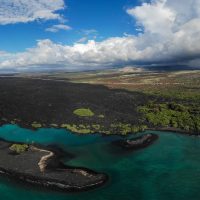
Kiholo Bay taken by the Mavic Air
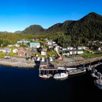
The Gitga’ata community of Hartley Bay, BC
Flying the drone along the Mauna Kea access road just after sunrise, click on the image for full size
Flying the Mavic at Keanakolu ranger station and cabins on the side of Mauna Kea
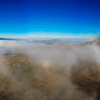
A fogbow and glory seen from the Mavic Air on the side of Mauna Kea
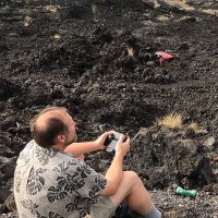
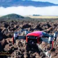
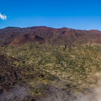
Flying a Mavic Air over the badlands of recent Hualālai lava flows
Flying the DJI Mavic Air in the saddle at the base of Mauna Kea
Looking down on Laupahoehoe Park from a drone
A koa tree atop Pu’u Huluhulu
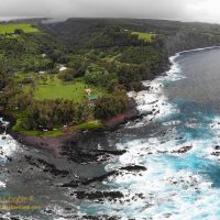
The Kohala taken from the drone on a windless afternoon
Flying the DJI Mavic Air in the saddle at the base of Mauna Kea
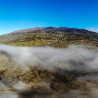
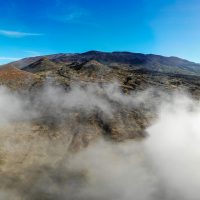
Mauna Kea seen above morning fog
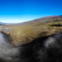
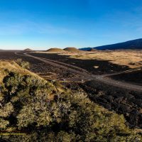
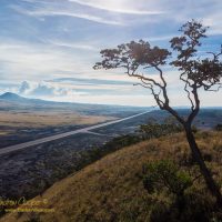
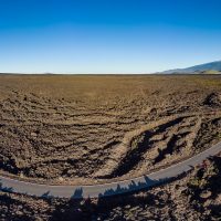
Looking across the lava plains of the Humuʻula Saddle from the Mauna Loa access road
Looking up at Mauna Kea from below Hale Pohaku