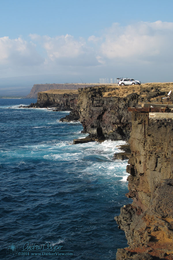
A windswept place of rock and water. A place where the few trees seem bent and twisted. A place with an ancient feel, where time has a different quality. The landscape is bleak, nothing at all like the tourist postcards of Hawaiʻi, open grassland with scattered copses of trees here and there. Look twice and the remains of history litter the landscape. A rubble of stacked stone betrays ancient Hawaiian settlements. Concrete foundations show the more recent remains of wars past or failed farms.
Such is Ka Lae, the southernmost tip of land in the islands. A place where the land and sea meet the past. There is nothing beyond this point but thousands of miles of empty ocean.
This may be the place men first discovered these islands, by Polynesians sailing from the south on those daring voyages of discovery. Many of the most ancient archeological sites are here, on the southern tip of the island. This may be the coastline first sighted by Europeans, Spanish galleons certainly passed south of the islands for centuries prior to Cook’s later discovery of the islands in 1778.
Fishermen have come here as long as men have dwelt in Hawaiʻi. The steep cliffs drop into deep water. A place where the great pelagic fish come close enough to shore to catch without venturing to sea. Ahi, ono, mahi-mahi and other prize catches can be had from a pole at the top of the cliff. On any given day a dozen local fishermen can be found atop the cliff, each with a favorite spot.
The modern technique is to secure a plastic bottle or inflated bag to the line, allowing the wind to pull the line out from the cliff. In years past the fishermen would fish from a boat secured to the cliff by a line. Along the cliff are the remains of winches and ladders used to access the boats.
Continue reading “Ka Lae – South Point”