It is not a hurricane watch, but rather a tsunami watch that is currently in effect for the island. This afternoon’s 8.3 magnitude earthquake in Chile may have generated a tsunami that may arrive around 3am tomorrow morning. The early data from stations along the Chilean coast report a tsunami has indeed occurred of between ½m and 3m in height. Oh the fun of living in paradise…
Update: Tsunami watch downgraded to an advisory, minor effects expected.
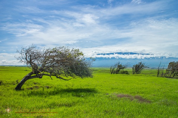
Processing the photo I realized I could not make it green enough. If I pushed the saturation far enough to resemble reality I would be accused of over-processing the image. Yes, the ranch lands around Waimea and Waikoloa are that green right now.
The normal annual rainfall in Waikoloa is about 12 inches. Over the last few weeks we have received eight inches in our unofficial rain gauge on the front lanai. Normally summer is the dry season here, with most of the rainfall occurring during the winter months. The result is endless green across the mountainside.
As the rains have continued this last weekend, another half inch in the rain gauge, it will stay green. Eventually the rains will come to an and, everything drying out, returning the pastures golden brown again. Then, of course, the mice will come.
The pastures around Waimea are currently vivid green.
Floating down a century old irrigation canal is an excuse for a lot of photos. More than fit in the article that posted yesterday. I put a bunch more photos in a quick slideshow…
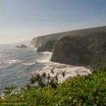
A view along the North Kohala Coast from near Pololu Valley, photo by Deborah Cooper
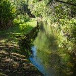
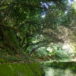
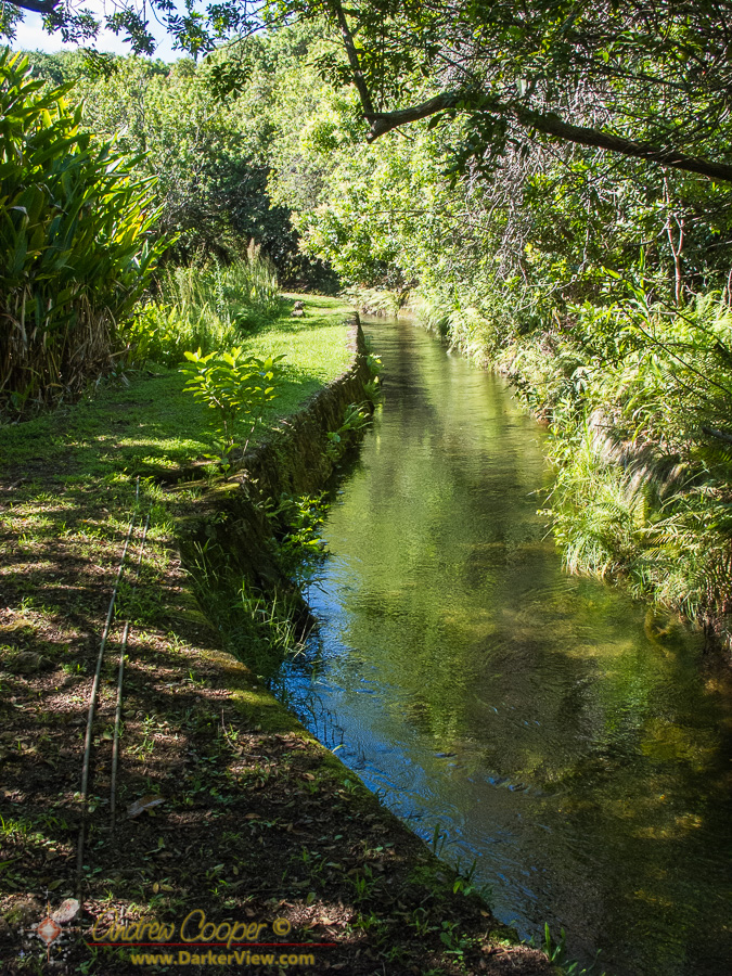
The Kohala Ditch irrigation canal winds its way around the mountain, photo by Deborah Cooper
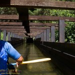
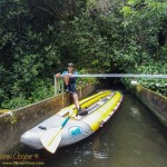
Flumin’ Kohala guide Virgil paddles a kayak along the Kohala Ditch, photo by Deborah Cooper
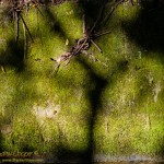
Moss and shadow along the walls os the Kohala Ditch, photo by Deborah Cooper
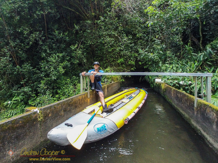
Flumin’ Kohala guide Austin holds our Kayak while we get out to take some photos.
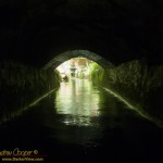
Light at the End of the Tunnel
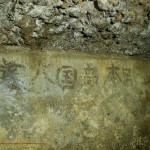
Japanese Kanji in one of the tunnels along the Kohala Ditch, photo by Deborah Cooper
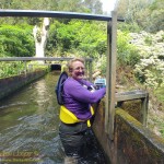
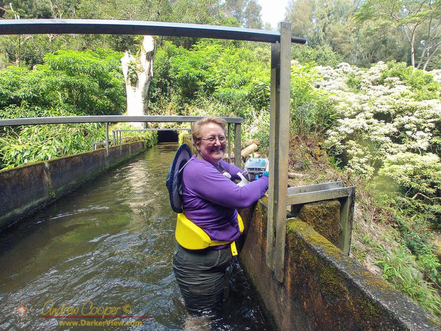
Deb standing in a flume along the Kohala Ditch
The Kohala Ditch irrigation canal winds its way around the mountain, photo by Deborah Cooper
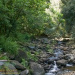
A stream in the North Kohala rain forest, photo by Deborah Cooper
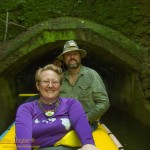
Deb and Andrew, your author, floating down a ditch
With the water conditions remaining poor for diving, it was time to consider some other activity for the Labor Day weekend. Recalling a news release from a few months ago I had an idea… Flumin’ Kohala.
The century old Kohala Ditch irrigation canal that winds its way around the mountainThe fun is in using kayaks to explore one of the old irrigation canals that is carved into the mountains above Hawi. Tours of the ditch are available as a tourist excursion. Reserving our trip for a Sunday morning Deb and I were lucky, we got a private tour, the only guests for the trip. The months of September and October are a slow season for businesses that depend on tourists after the start of school and before the holidays begin. Locals know this is the best time to go do many activities as the crowds are sparse.
Flumin’ Kohala offers two tours a day, an 8am tour and another at 12:30pm. I knew that the earlier tour was far more likely to offer clear blue skies and rain free conditions. In the afternoon the clouds often build along this coast, creating the rain that the irrigation canal is designed to collect.
This tourist attraction has been closed several times when the canal was damaged. The 2006 earthquake destroyed one flume and damaged others forcing the kayak tour to close. This was eventually repaired allowing tours to begin again. In early 2015 the canal was again badly damaged, this time by heavy rains and flooding, forcing tours to cease. After repairs the tour was restarted, this time by the ditch operator instead of contracted out. Thus the new company is locally owned and employs local residents. All of our guides were guys that grew up in North Kohala, full of information about the area.
Deb standing in a flume along the Kohala DitchConstruction started in 1905 and took 18 months to complete. The fourteen miles of ditch and tunnels were carved into the rock by hand, Japanese laborers working for a dollar a day. Tunnels over a thousand feet long were bored through the ridges, with sections of elevated flumes crossing the gulches. In many places the canal exits a tunnel, crosses a bridge, then immediately enters another tunnel. Completed on schedule the final cost was $694,000 in 1907 dollars, the equivalent to over $18 million today. Seventeen men lost their lives carving this ditch into the mountain.
The water was used to irrigate thousands of acres of sugarcane and to supply the five sugar mills that once operated along the Kohala Coast. While sugar production ceased in the 1970’s the canal system continues to supply water to local ranchers and a nursery.
Today it is the employees of Flumin’ Kohala that maintain the canal system as well as providing tours. Repairing the old stonework, clearing debris and sediment from the ditch and pruning back the rain forest that would quickly overgrow the canal. Water level is maintained through a system of sluice gates that must be adjusted with the rainfall to let water out of the ditch where needed.
Flumin’ Kohala guide Austin holds our Kayak while we get out to take some photos.It is the tunnels and bridges that make this section of canal so spectacular. The tunnels seem to go on forever, the proverbial light at the end of the tunnel disappearing as the channel curves and bends inside the mountain. A headlamp is provided to every guest, but I had my diving video light along providing a flood of bright light that drowned out the small headlamps and lit up the tunnel for photography. Our guides were asking where they could buy something like that!
Midway we stopped an got out to enjoy the view from one of the flumes crossing a pretty gulch and waterfall. Of course there is no trail here, getting out meant we were standing in a couple feet of flowing water wading across a bridge. Usually one wades under bridges, not over them. Everything about this tour was definitely unique!
The laborers who carved and maintained the canal system left marks of their passing. In a few places Japanese Kanji characters can be found along the tunnel walls, preserved underground. Thousands of hand carved blocks of stone line the tunnels and banks of the canal, a testament to the craftsmanship of those who built.
As the website strongly warned us… You will get wet! We wore swimsuits under our shirt and shorts, good choice. I wore a set of hiking sandals, Deb a pair of scuba booties. For cameras I used the GoPro while Deb shot a G11 in the waterproof housing. My sturdy canvas hat was a good choice as well, protecting my scalp from the tunnel ceilings a few times. Wet we got! As recommended we brought towels and the Flumin’ Kohala office has large bathrooms set up for changing into dry clothing when you finish the tour.
I was expecting a fun day, Flumin’ Kohala was more fun than I expected. This was no short trip, the miles of canal and tunnels just kept flowing past. This is an adventure well worth the cost. Great guides and a fascinating experience provided just the thing for an otherwise quiet Sunday.
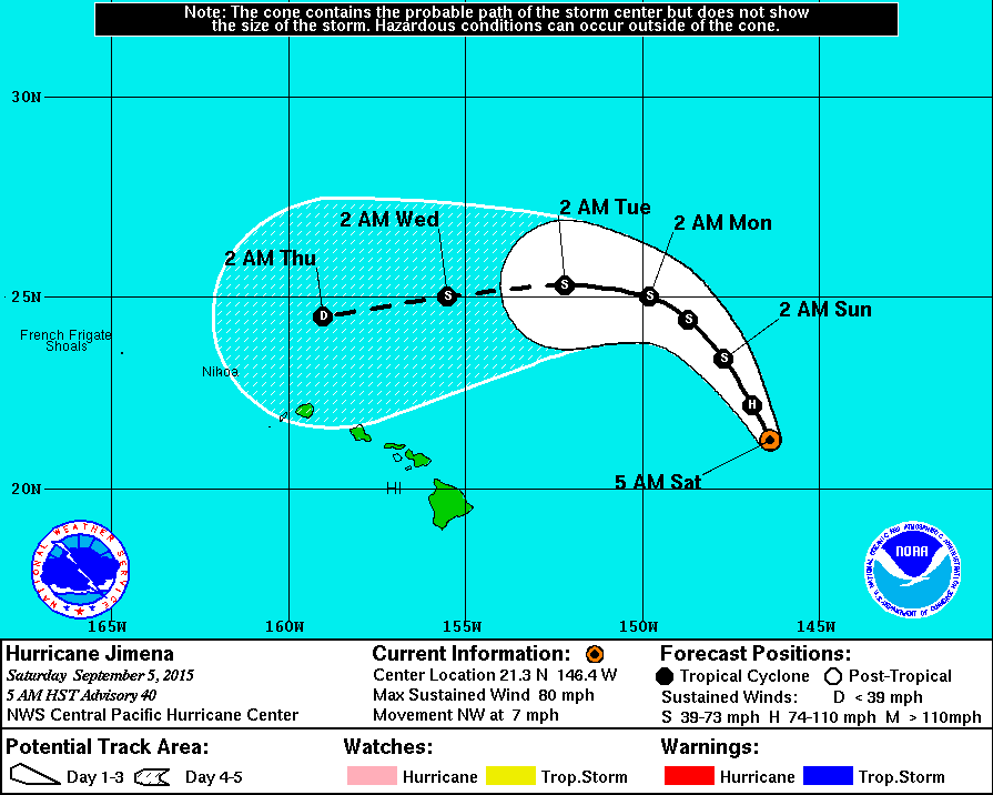
Predicted hurricane tracks continue to be the subject of conversation around the islands. The latest now shows Jimena curving back at the islands, when the predictions from five days ago showed the storm tracking off to the far north. Really?
At least it missed our island. Now it is the residents of Oahu and Kauai that need to worry.
The predicted course of Hurricane Jimena, 5 Sep 2015
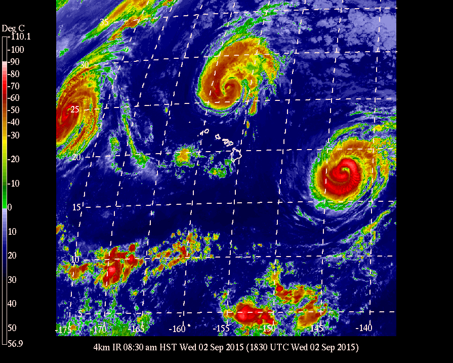
The satellite views of the central Pacific are endlessly fascinating. Three major hurricanes surround the Hawaiian Islands. Social media continues to buzz, with re-posts of the imagery.
So far only minor effects in the islands… Major surf on the northern and eastern shorelines, closed beach parks, and lousy observing weather keeping the telescopes shuttered.
Three hurricanes in the central Pacific, GOES West 4km IR image from 2Sep2015
So last night a Russian satellite burns up over Waikoloa… And I miss it!!
Some of my friends and co-workers did not, asking me what it was this morning after personally witnessing it. There are videos all over Facebook. I am so envious!
The satellite was Cosmos 1315, a Russian signals intelligence mission launched in 1981. It re-entered just west of the Big Island about 11pm HST last night.
I have embedded a video below, the language is more than a bit rough, a few f-bombs. The language goes to illustrate just how dramatic the event was. Aside from the unfortunate choice of vertical format, the video is surprisingly good.
Several items stand out in the video… The giveaway that it is man made is the very slow speed of the object, not the high speed typical of most meteors. You can also see the satellite coming apart, fragments breaking away. Larger meteors can also do this, breaking up upon re-entry.
The guy (I believe Chris Jardine) identifies the object as a meteor, a good guess. I first thought meteor when I saw the video. I received word a bit later from Steve Cullen who passed along a link to information on the satellite. The gal thinks comet? We need to do more public outreach and education around the island!
A beautiful image from the NOAA-NASA GOES Project of a full disk Earth. Off to the west of the islands you can see the re-formed Hurricane Kilo, to our immediate east if Ignacio, with Jimena right behind. The forecast calls for tropical storm force winds to begin on the island as soon as tonight. Also visible is an active region of thunderstorms off the Mexican coast, the spawning ground for the next hurricane.
Click on the image for full glory!
Three Pacific hurricanes visible in this full disk weather image from the NOAA-NASA GOES Project