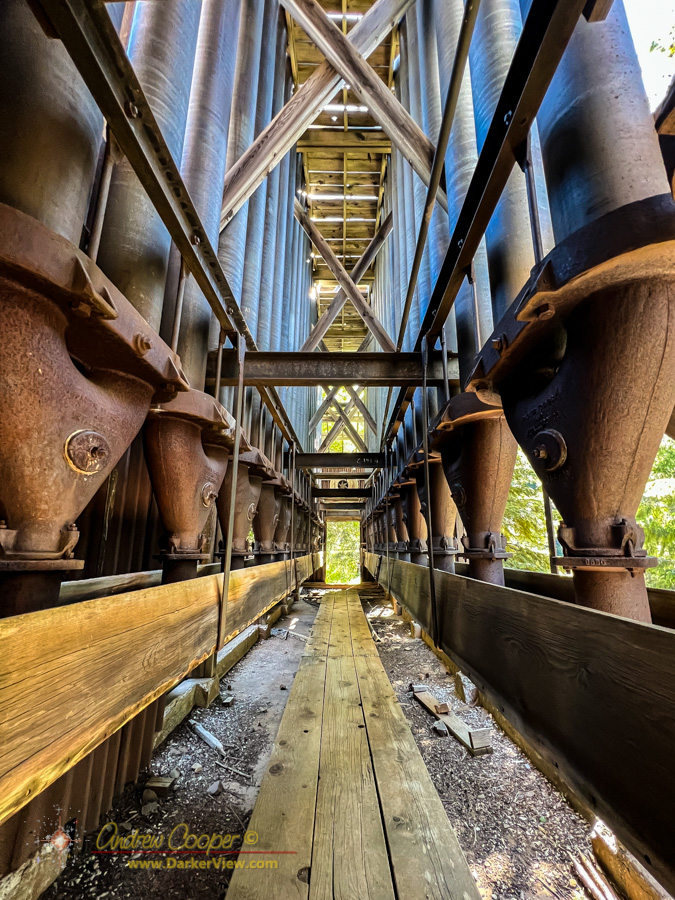
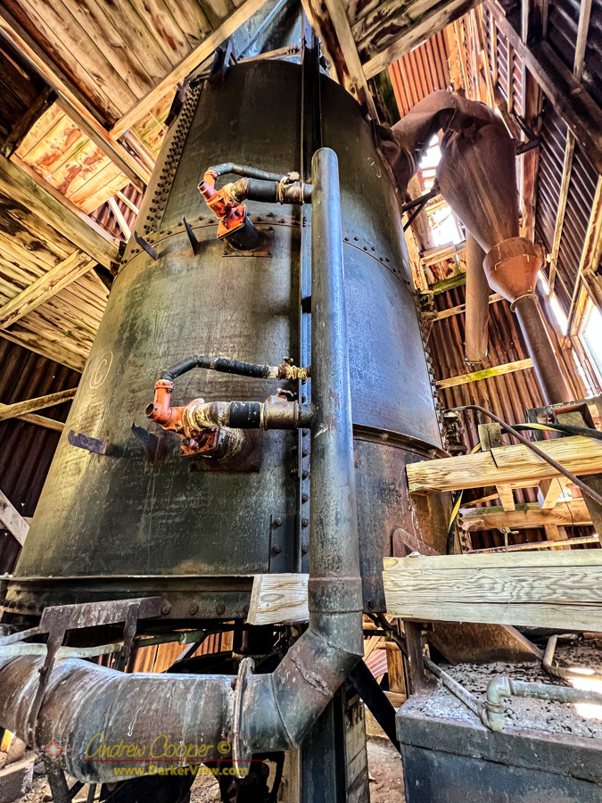
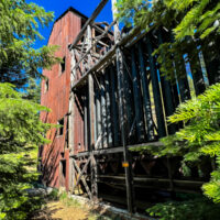
Cinnabar Mill
When you want to see the stars, find someplace dark

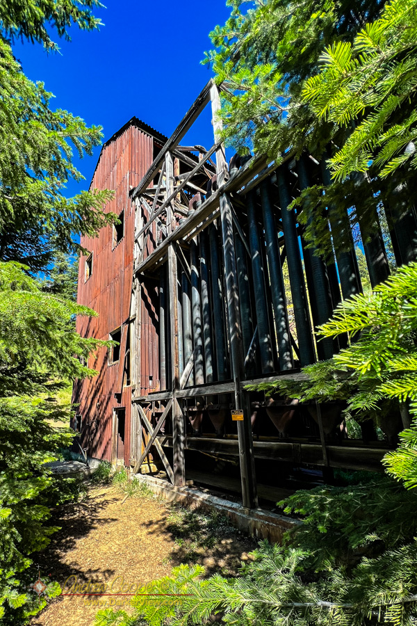
On a past visit to the area I had tried to find this mill building, I missed it by mere yards, a few trees away. This time I was going to succeed.
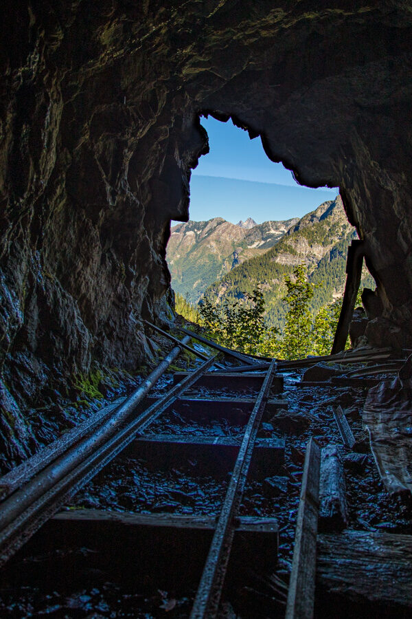
The Mother Lode Mine is a mercury mine in the Ochoco Mountians of central Oregon. Here cinnabar ore was crushed and roasted to release quicksilver that would have been used in the region’s gold mines.
First claimed as a gold mine in 1899, mercury was discovered in 1900, mining continued off and on under various mining companies until 1968. Total production was likely around 352 flasks, or about 2,900 pounds of mercury.
Continue reading “Mother Lode Mine”So… One of those random things that get suggested by the YouTube algorithm is a guy mining gold in the Mount Baker area. I watch a one, interesting enough to kill a few minutes while I wait for a 3D render to complete.
The second video I watch is about his “New gold mine“. While he is very quiet about the mine’s location and never once mentions the name of the mine, it does look very familiar indeed… High on the side of a mountain with spectacular scenery in the background… Yes, I have been there…
I believe I have said it a few times here… I love ruins. And while good ruins are fewer in Hawaii, southeast Alaska has plenty to explore.
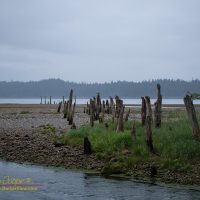
For one reason or another, fate seems to highlight this odd cove every time are in the area. From the first time I noted the unusual name on a chart to the halibut we have routinely caught here. Once when we simply planned to cruise by some odd activity caught my eye, again leading me into this place. Changing course we discovered whales bubble net feeding along the southern cliffs, a sight I will not soon forget.
The odd name is from the Tlingit, Iyukin, and was first recorded in 1869 by G. Davidson, U.S. Coast and Geodetic Survey. This name was accepted and was published in the 1883 edition of the Coast Pilot, to be shown as Iyoukeen on nautical charts ever since.
A sand and gravel beach backs much of the cove, with steep hills behind. An odd, very narrow, rocky peninsula separates the cove from Freshwater Bay to the south. Cruise ships, ferries, and fishing boats pass by taking little heed of this seemingly unremarkable cove.