Just a sample of travel to Cordova, Alaska…
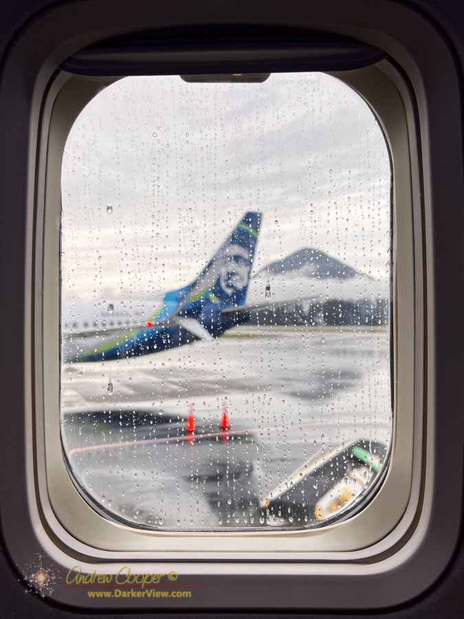
A rainy day in Juneau as seen from the window of an Alaska Airlines flight 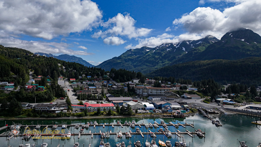
The fishing port of Cordova, Alaska 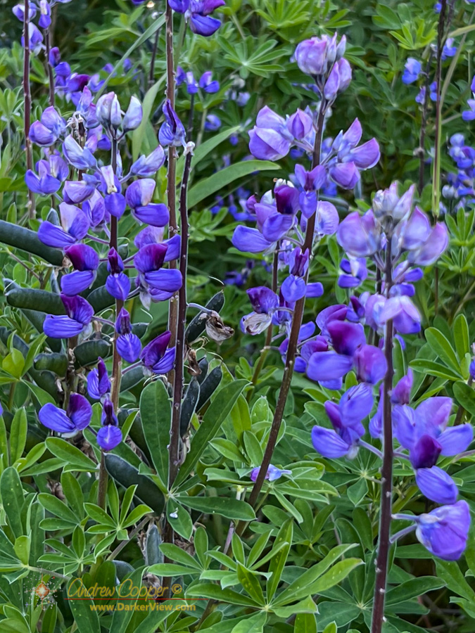
Lupine along the trail at Sheridan Glacier 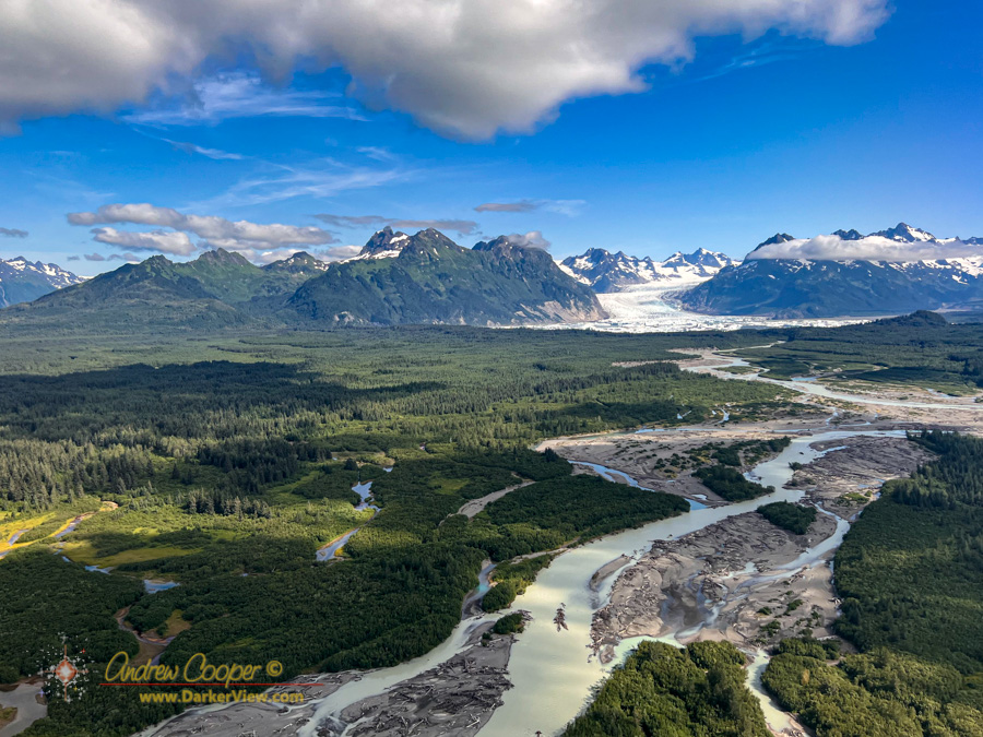
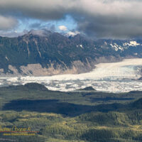
A muddy Sheridan River drains the lake in front of Sheridan Glacier 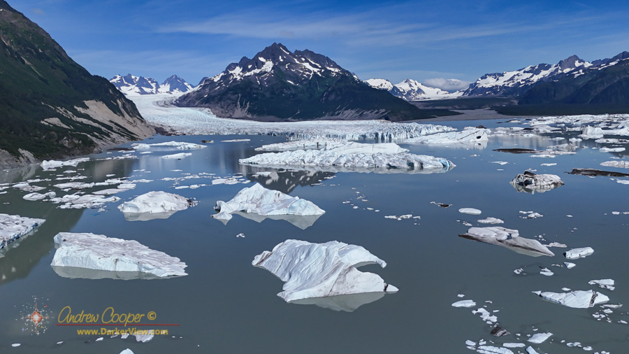
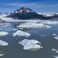
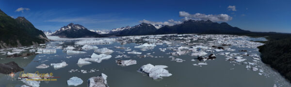
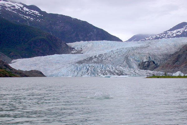
Icebergs scattered across the lake in front of Sheridan Glacier 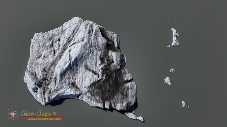
An iceberg from Sheridan Glacier sits in the muddy waters of Sheridan Lake 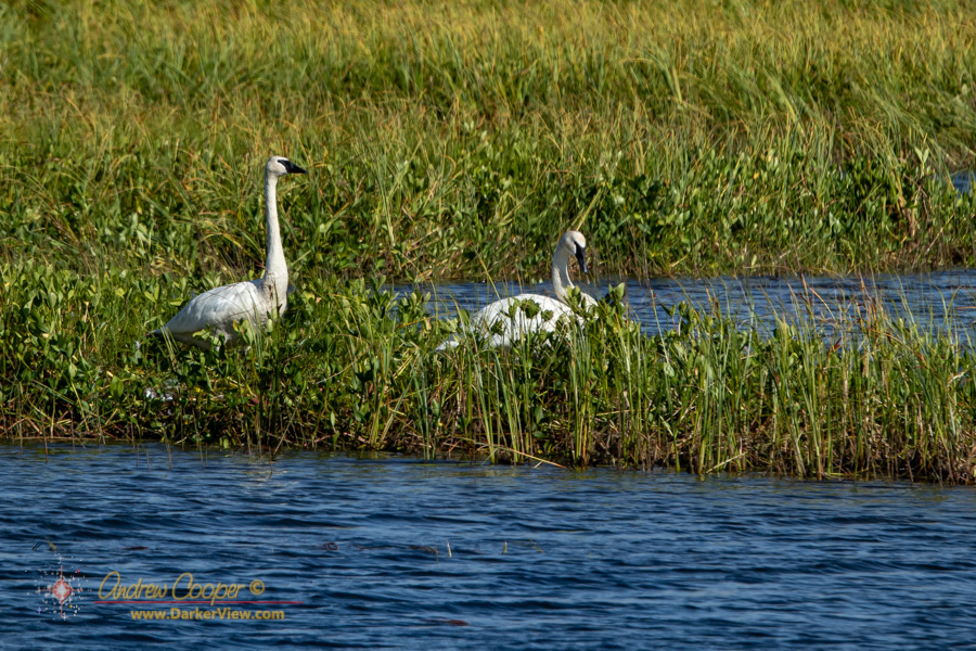
Trumpeter swans (Cygnus buccinator) forage near Cordova, Alaska 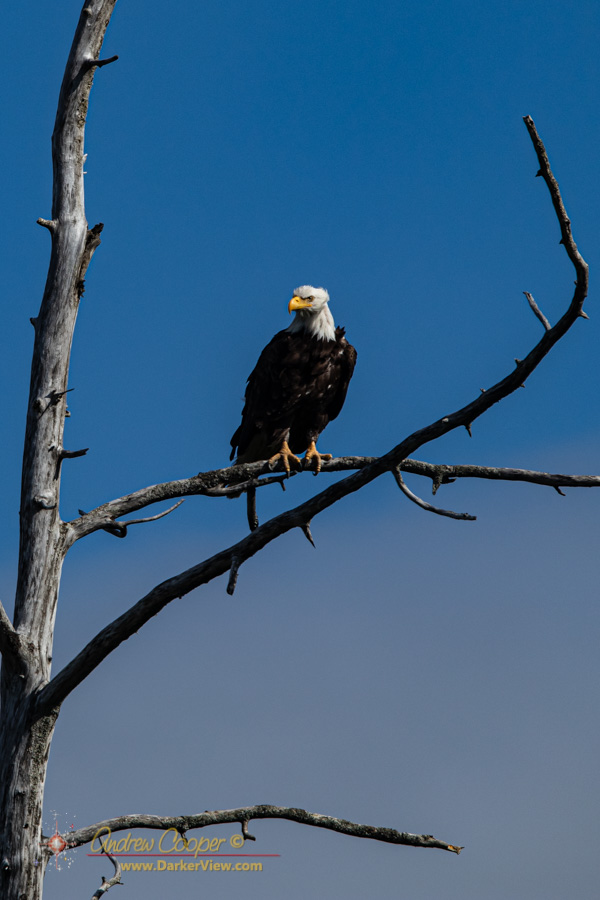
A bald eagle (Haliaeetus leucocephalus) monitors the Copper River Delta from a convenient perch 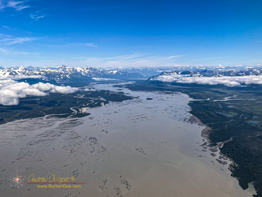
The Copper River delta near Cordova, Alaska 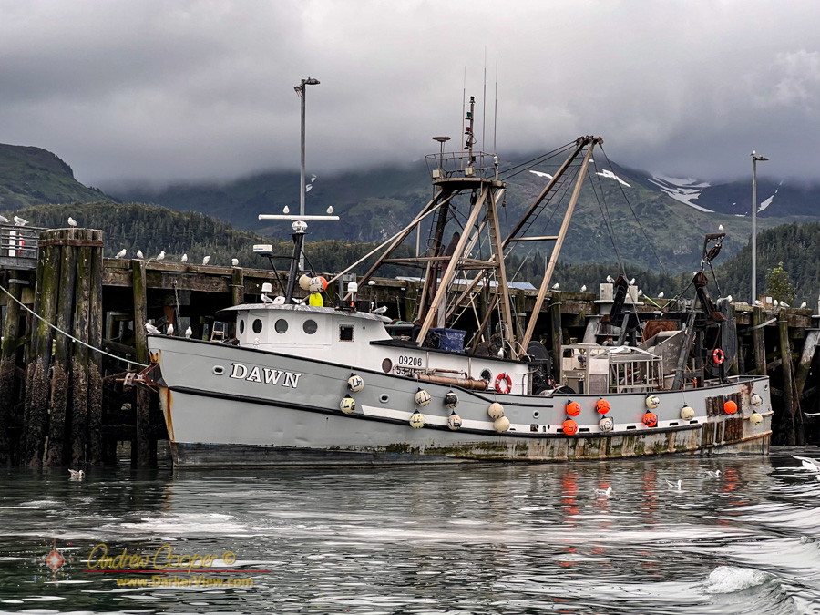
The fish processor Dawn unloads in Cordova, AK 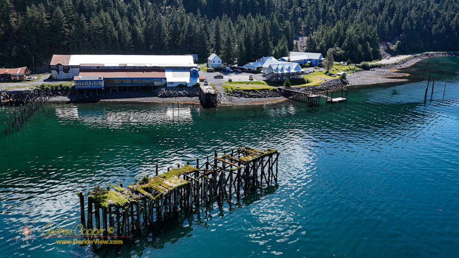
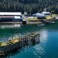
Orca Adventure Resort, Cordova, Alaska 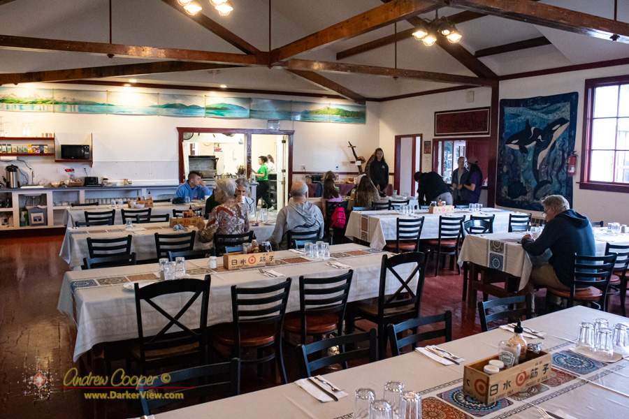
The old cannery dining hall serves breakfast at Orca Adventure Lodge 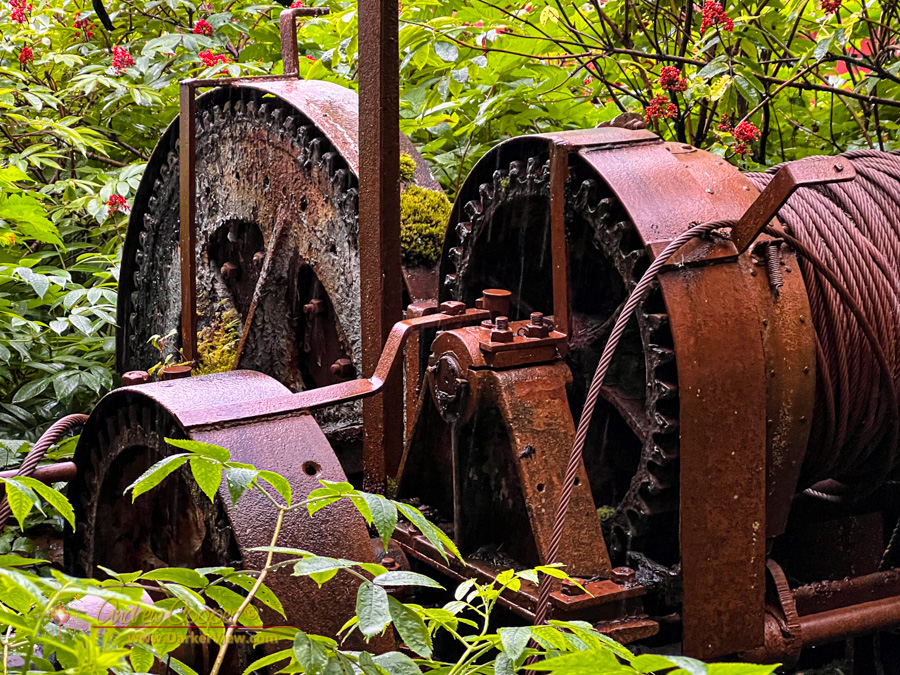
A large winch list abandoned in the brush 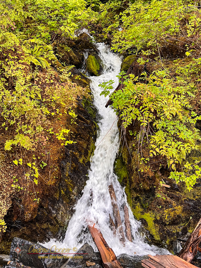
A small unnamed stream tumbles through the rock 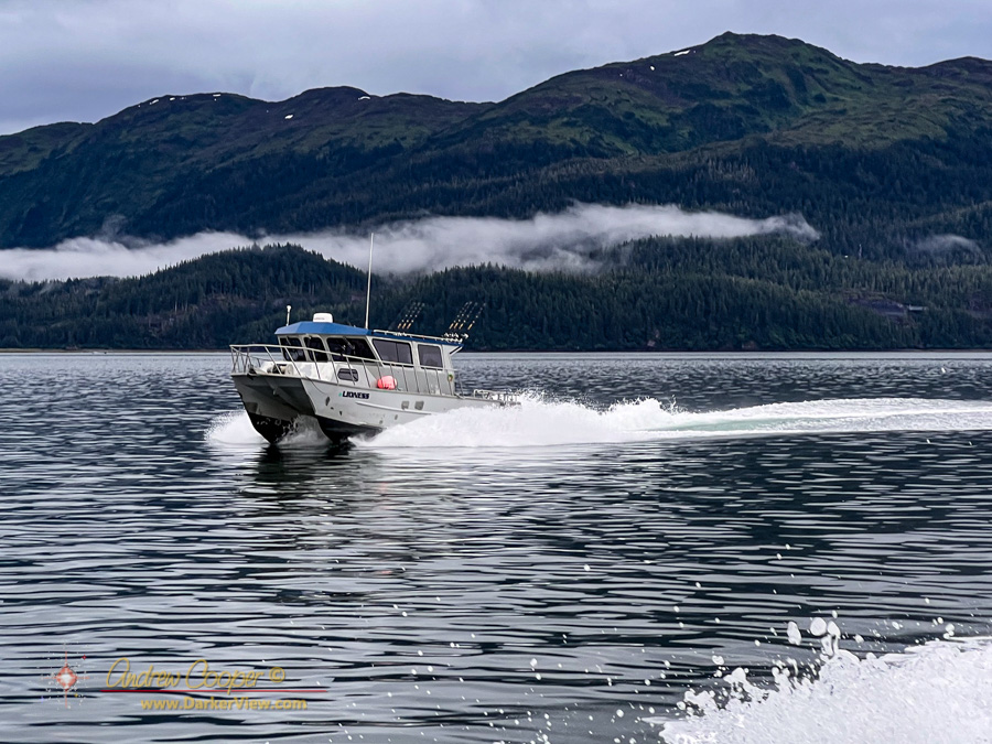
The Lioness fishing boat belonging to Orca Adventure Lodge 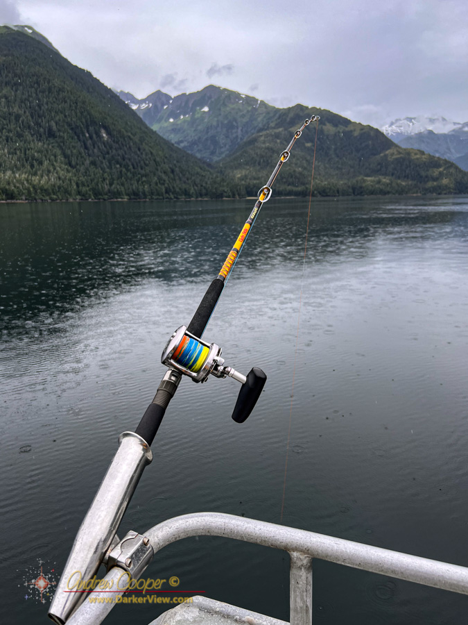
A pole awaits a halibut in Gravina Bay 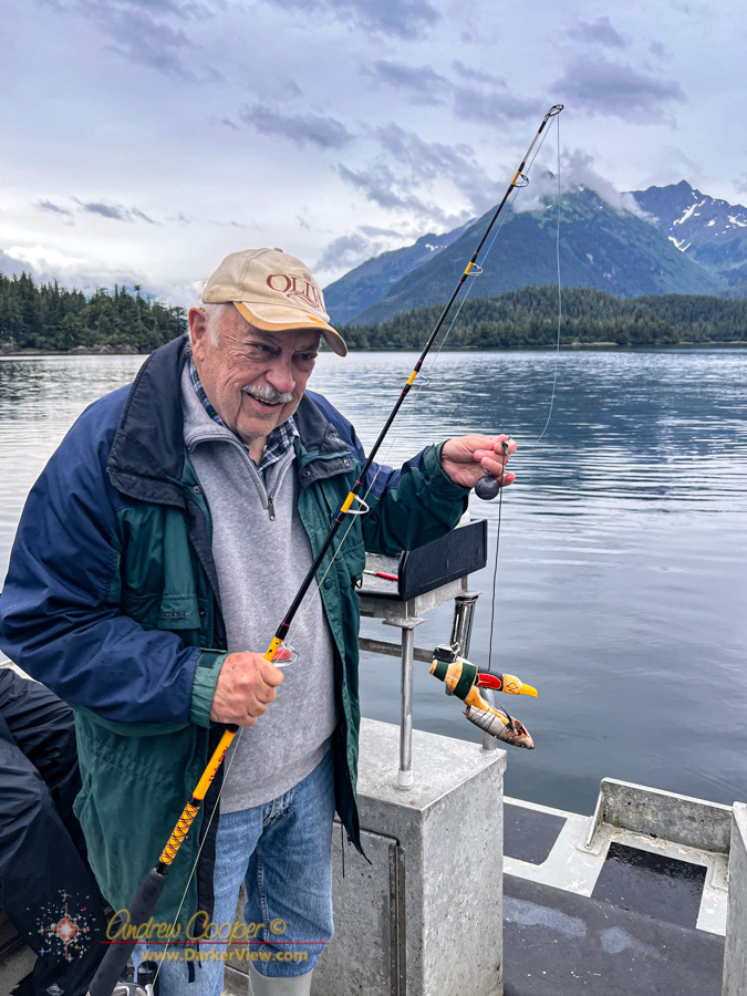
Fred Cooper fishing with a traditional northwest indian halibut fishhook 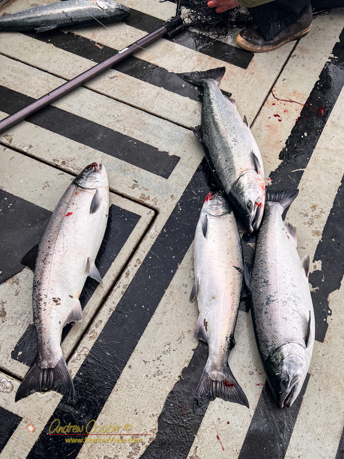
Coho salmon ((Oncorhynchus kisutch) on the deck 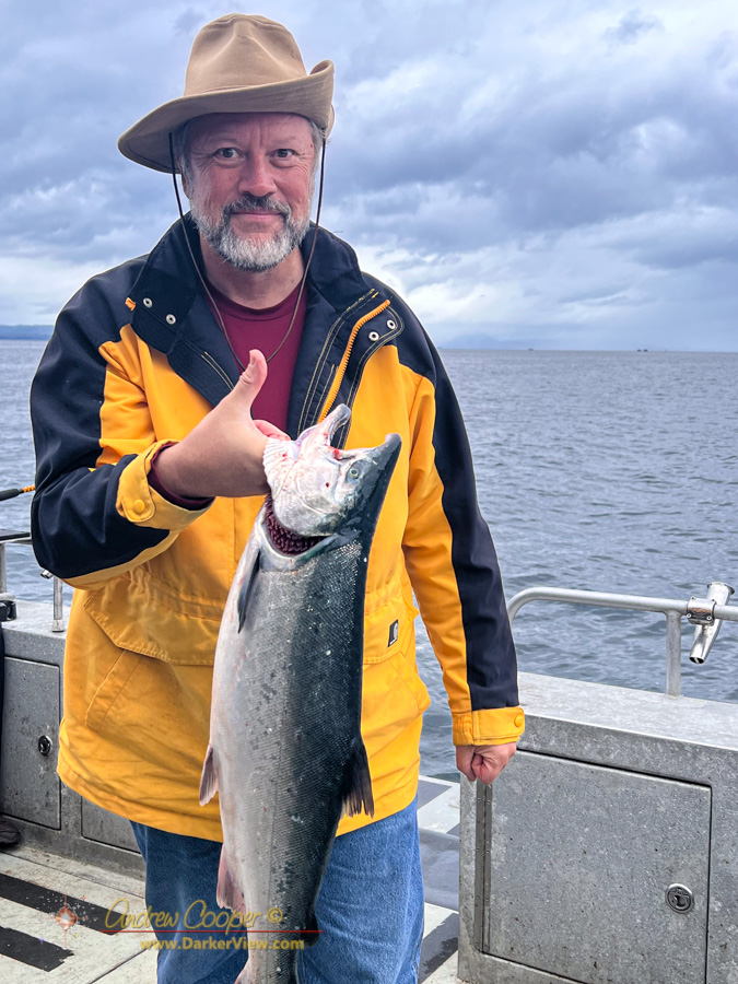
The author with a nice catch