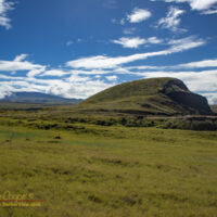
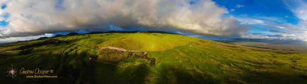
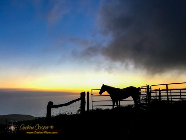
Around this island the observant hiker will become attuned to various clues that give a view into the natural history or human history of the landscape.
One such clue is the presence of seashells, these are usually a giveaway of ancient Hawaiian occupation of a site or locality. The bleached and broken bits of shell a long lasting remant of meals harvested from the shoreline and brought to places well inland. Often found around lava tubes or water sources these shells let you know that others have passed here before.
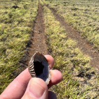
An ʻopihi shell along a power line access road near Waikoloa? This is a bit unexpected. I have to stop and pick up this shell, stopping to puzzle out this anomaly.
Continue reading “Out of Place”