One of the fun things you can do with the panorama images created by the Mavic Air drone is to upload them to places these images can be seen a wide audience. Posting to Facebook is fun, but very few places will see more traffic than images posted to Google Maps.
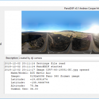
The newer DJI drones like the Mavic Air produce 360 panoramas automatically. Stitched on-the-fly onboard the drone the panoramas are saved to the memory card ready for use at the end of the flight. The images are not without issues, the onboard stitching is quick and small flaws are usually visible. Far better results can be achieved by other stitching software in post, but the drone produced panoramas are generally good enough for web posting.