How bored do you have to be to make a video of a walk to a hill just a few miles from the house?
Yeah, that bored.
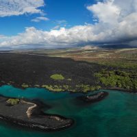
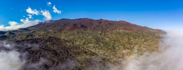
A combination of still and drone photography with a Mavic Air.
I did get out of the house for a few hours.
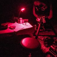
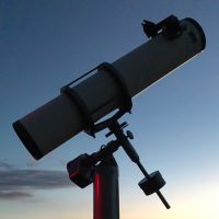
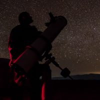
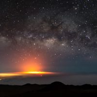
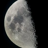
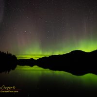
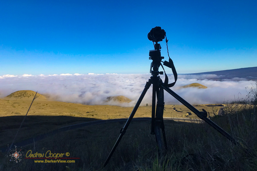
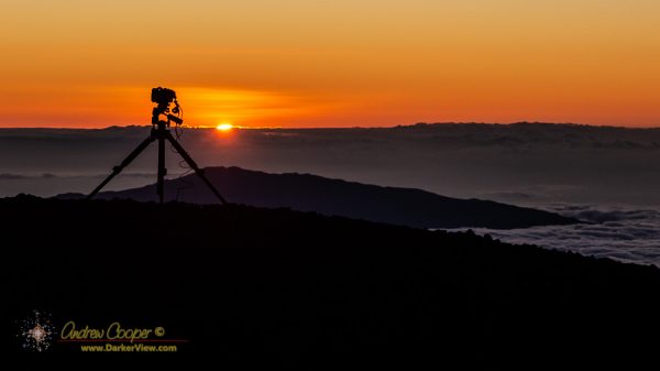
When you want to see the stars, find someplace dark

How bored do you have to be to make a video of a walk to a hill just a few miles from the house?
Yeah, that bored.
A combination of still and drone photography with a Mavic Air.
I did get out of the house for a few hours.
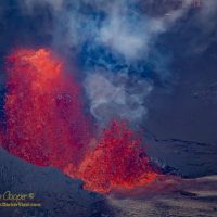
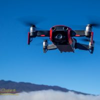
Governor Ige signed the new public access rules, drones would be illegal on the summit in ten more days.
With a deadline looming much sooner than I had contemplated there was a narrow window of opportunity. While I had wanted to fly the summit for a long time, I now had a few short days in which to do so. On January 23, 2020 the new rules would take effect.
The Office of Mauna Kea Management has attempted to restrict drone use on the summit by posting signs that drones are not allowed. Problem, they did this with no legal authority to do so. In conversations with OMKM staff I had pointed this out and received a quiet admission that it was true.
The new public access rules would change this… Flying a drone would be specifically prohibited on the science reserve, a civil offence with steep fines involved. With the governor’s signature those rules would be in force.
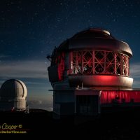
Continue reading “Flying the Summit”2019 is recorded in photos here on DarkerView.


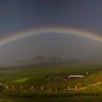
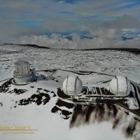
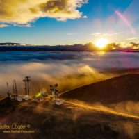
Not the first time I have attempted to take this photo, rather the fourth, or is it fifth?
I think I got it right this time…
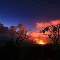
The image is a two frame mosaic taken with the Mavic Air and stitched in Lightroom. The trick is catching the clouds at just the right place, and racing to launch the drone from close enough to take advantage of the clouds. Conditions change with remarkable speed and fluidity as the clouds move across the flank of the mauna, surging up the slope or dissipating quickly.
A drone does not bank into a turn like a traditional aircraft, it remains level as it spins in the air to change direction. Even if the drone banks slightly to counteract the wind the camera gimbal keeps the video level.
The resulting video from the drone seems flat to me, a sense of something wrong, I expect a little roll while turning. I find myself struggling with the resulting imagery, what do I do with this?
It is not only aircraft that bank into a hard turn, even an automobile does this on a properly designed roadway. If the car does not truly bank, we passengers naturally lean into the turn to counteract the centrifugal force. We expect to lean into a turn, while a drone does not.
How do I restore that roll in the drone video?